Technical Note D2
Algorithm Design and Theoretical Basis Description
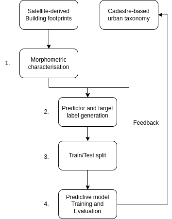
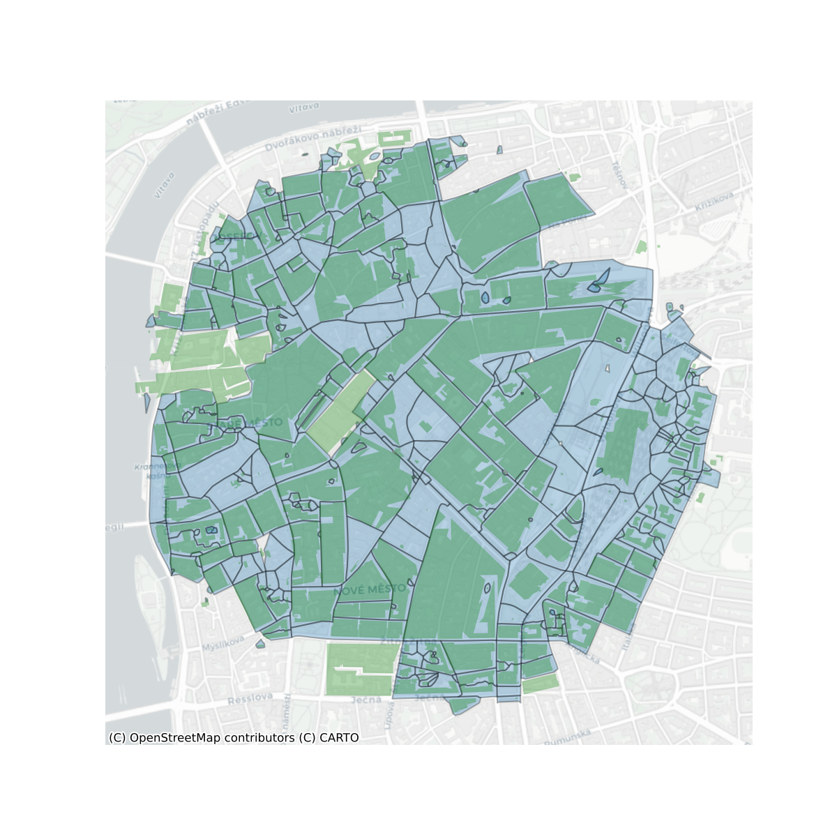
Morphometric Classification Homogenisation Protocol
Protocol design
![]()
Model protocol
Protocol design
- Use morphometric classification of Central Europe from a parallel research project as ground truth data
- Calculate morphometric characters on subpar, but homogenous and widely available data, using enclosed tessellation cells (ETCs) as the base unit of analysis
![]()
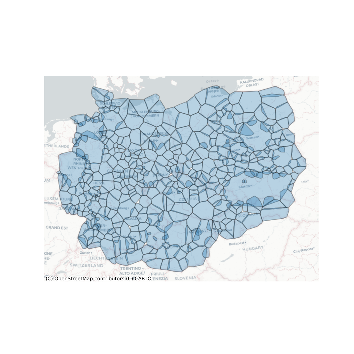
Subregions
![]()
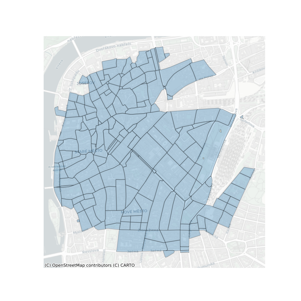
Enclosures
![]()
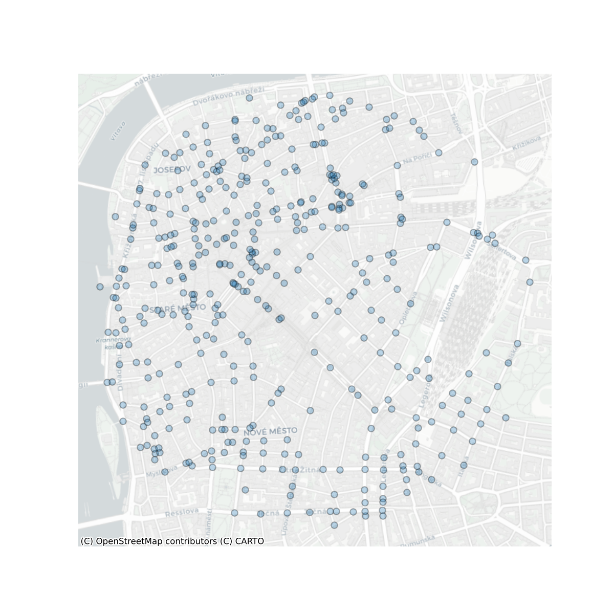
Nodes
![]()
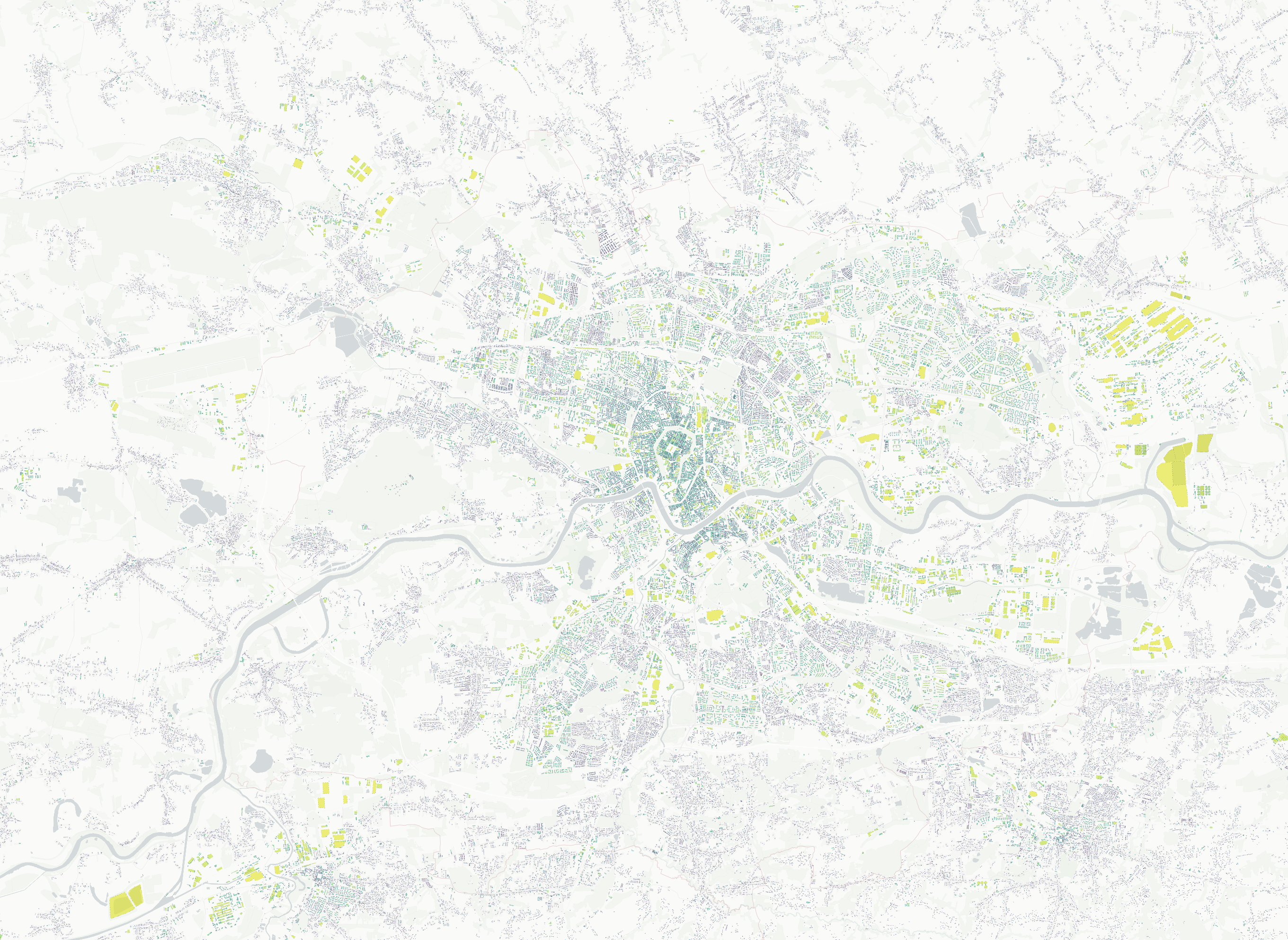
Tessellation cells
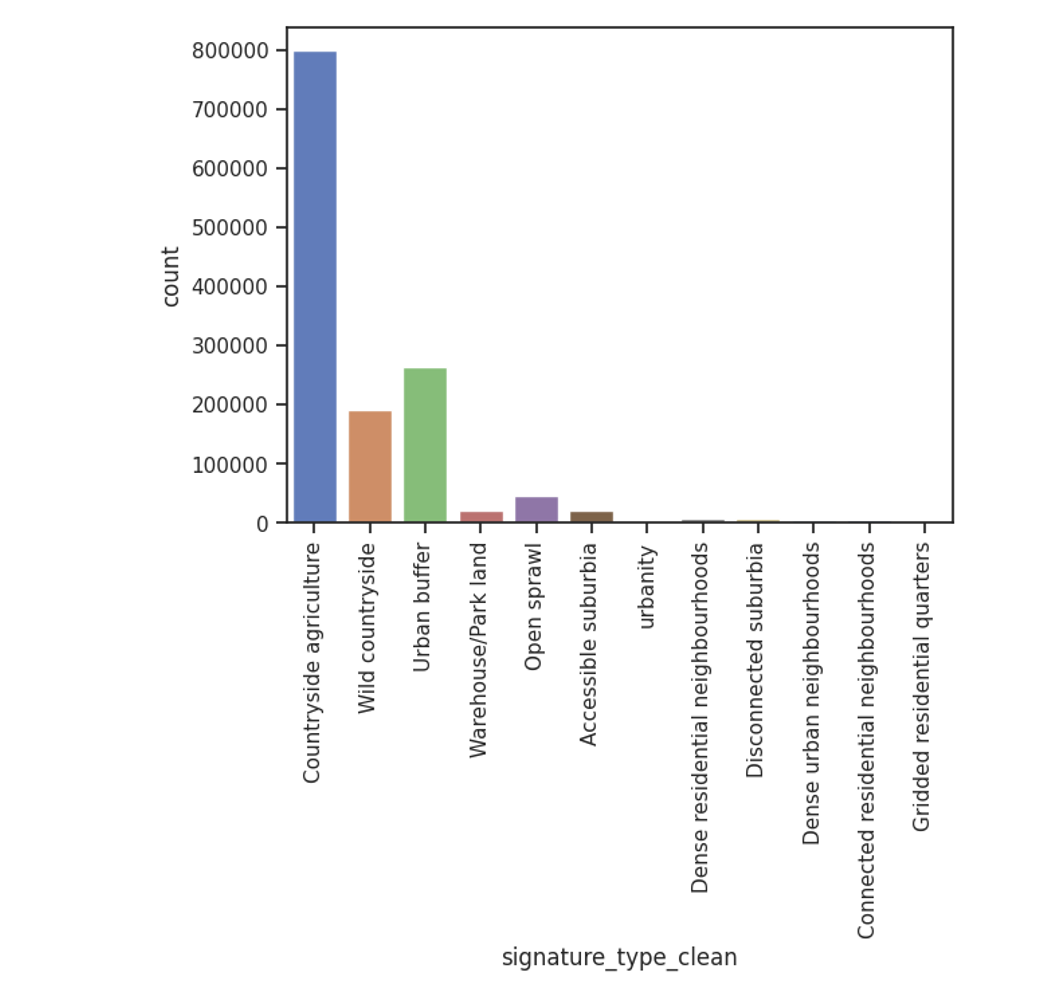
63 calculated morphometric characters
![]()
![]()
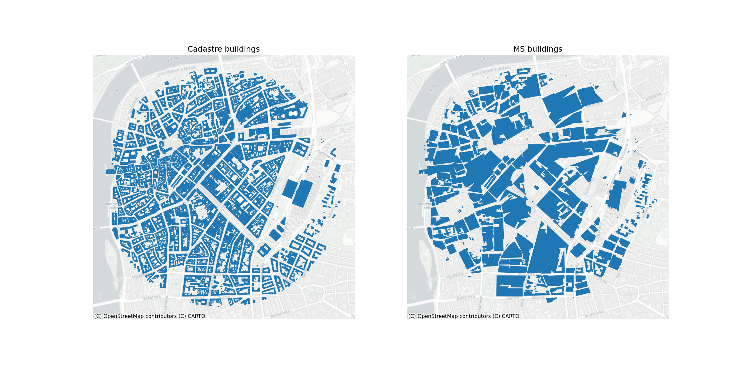
Building area in Krakow
Protocol design
- Train a supervised model to predict the classification of ETCs directly from the calculated morphometric characters, using the morphometric classification data as a target label
![]()
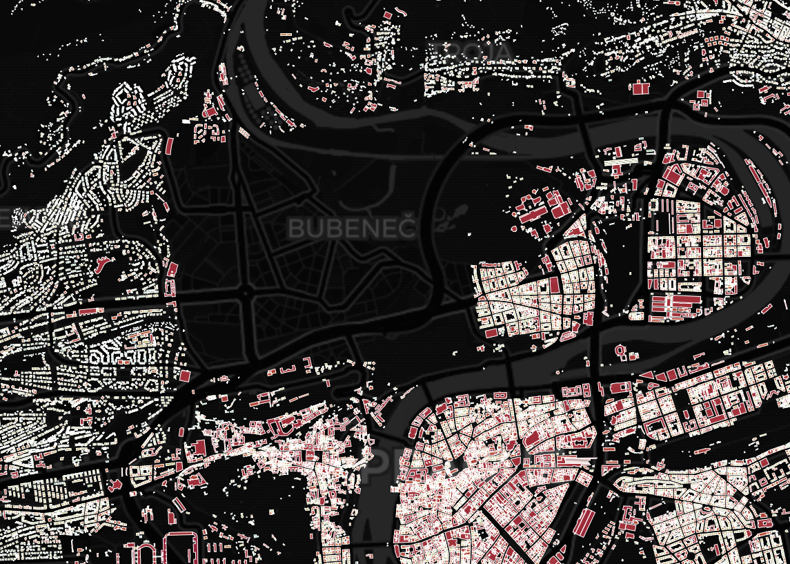
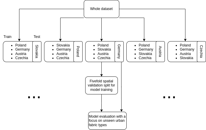
Evaluation setup
![]()
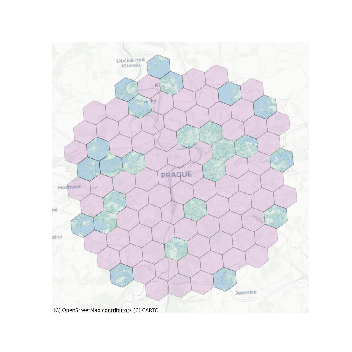
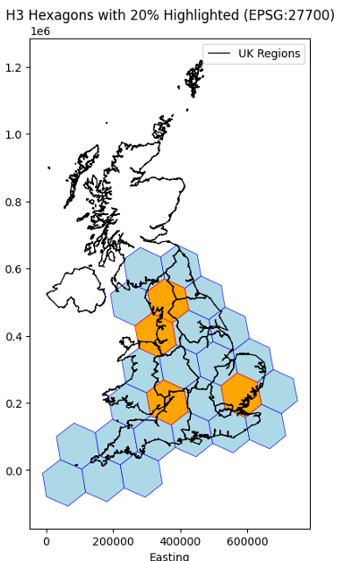
Spatial Split
![]()
Spatial Split zoom
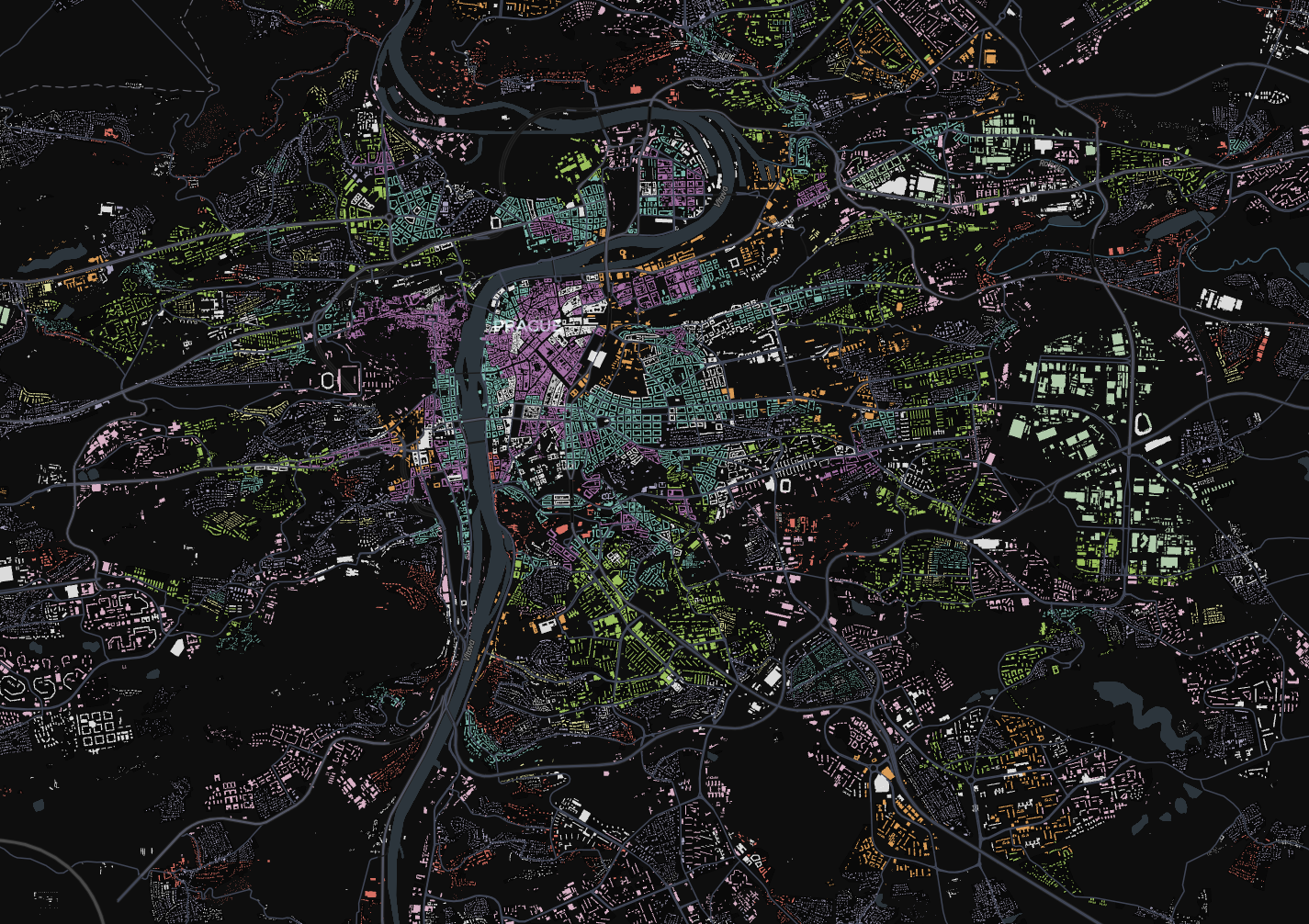
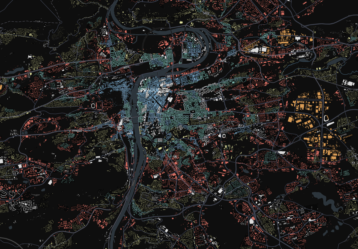
First iteration results
![]()
Predictions with an accuracy of ~ .68
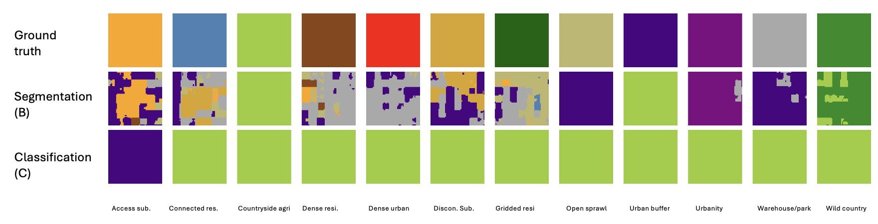
Overview
Classification vs Segmentation
- Classification: Single label per tile
- Segmentation: Pixel-level classification
Experiments
Overall approach comparison
- A: Baseline (embeddings + ML model)
- B: Segmentation (fine-tuned Clay model)
- C: Classification (fine-tuned Clay model)
→ choose final model approach
Model adaptations (baseline approach)
- Variation of baseline (ordinal)
- Smaller tile size
- Sampling method experiments
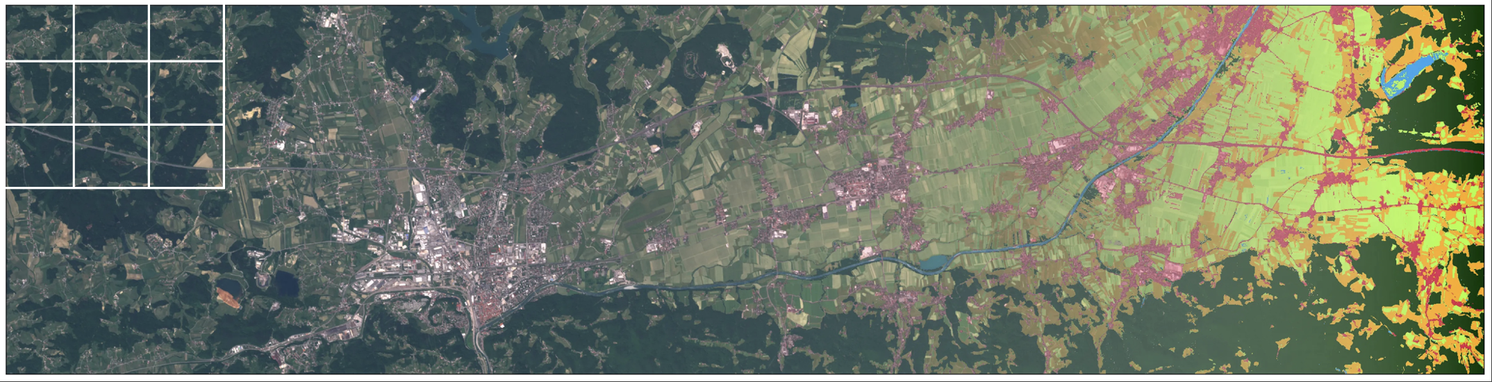
Data Preprocessing
Segmentation dataset
- 224 x 224 pixel tiles
- Train: 21,402 tiles; Test: 5,351 tiles
Classification dataset
- 56 x 56 pixel tiles
- Train: 342,648 tiles; Test: 61,074 tiles
Challenges
Class imbalance
- Uneven distribution across urban fabric classes
Shared train/test split
- Ensures consistent comparison between tasks (segmentation/classification)
![]()
![]()
Model Architectures
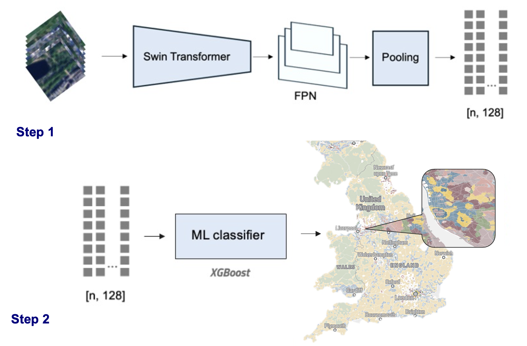
Approach A: Baseline Embedding
Pipeline
- Generate embeddings (SatlasPretrain model)
- Predict classes using XGBoost
- Enhancements
- Added spatial context using H3 hex lat/lon
Approach B: Segmentation Models
Fine-tuned three models
- Satlas: SwinT; 302M labels
- Clay: MAE/ViT; 70M labels
- Prithvi: MAE/ViT; 250PB data
Recap
| Weighted Accuracy |
0.57 |
0.72 |
0.62 |
| IoU |
0.33 |
0.58 |
0.41 |
| F1 Score |
0.41 |
0.69 |
0.58 |
| Training Time (epoch) |
9 min |
8 min |
20 min |
→ Clay model outperformed other models
Clay model
→ trained with focal loss
Approach C: Classification
- Fine-tuned Clay model for classification task
- Dataset: 56 x 56 px tiles
Evaluation metrics approach comparison
Pixel-level comparison
- F1 Score: Balance between precision and recall, highlighting overall model performance for all classes.
- Macro Accuracy: Averages accuracy across classes, treating each class equally regardless of size.
- IoU: Quantifies the overlap between predicted and true regions, indicating segmentation accuracy.
| A: Class. (embed.) |
0.76 (0.66) |
0.22 (0.13) |
0.23 |
0.63 |
| A: Class. + H3 lvl 5 |
0.87 (0.82) |
0.42 (0.35) |
0.45 |
0.79 |
| B: Seg. (Clay) |
0.73 |
0.31 |
0.30 |
0.58 |
| C: Class. (Clay) |
0.59 (0.68) |
0.09 |
0.12 |
0.38 |
Comparison of approach B & C
- Overprediction of dominant class
- Segmentation boundaries
- Key Findings:
- Embedding model (baseline) outperformed fine-tuned foundation model approaches
- Clay model outperformed others in segmentation
- Challenges:
- Handling class imbalance
- Segmentation: non directly visual boundaries in images
Additional model adaptations (baseline model)
- Ordinal approach
- Tile size
- Sampling experiments
Ordinal approach
Signatures are not strictly categorical (some are closer than other ones)
ordinal_mapping = {
    'Wild countryside': 0,
    'Countryside agriculture': 1,
    'Urban buffer': 2,
    'Open sprawl': 3,
    'Disconnected suburbia': 4,
    'Accessible suburbia': 5,
    'Warehouse/Park land': 6,
    'Gridded residential quarters': 7,
    'Connected residential neighbourhoods': 8,
    'Dense residential neighbourhoods': 9,
    'Dense urban neighbourhoods': 10,
    'Urbanity': 11,
}
Ordinal approach
- Mean Absolute Error: 0.28
- Mean Squared Error: 0.28
- R² Score: 0.62
Comparison of baseline approaches
| A: Class. (embed.) |
0.76 (0.66) |
0.22 (0.13) |
0.23 |
0.63 |
| A: Class. + H3 lvl 5 |
0.87 (0.82) |
0.42 (0.35) |
0.45 |
0.79 |
| A: Class. + H3 + ordinal |
0.80 (0.80) |
0.26 (0.26) |
0.26 |
0.69 |
Varying tile size
- Motivated by more useful tile size for policy applications
- Map creation (less missing data)
- 25 x 25 px tiles (250x250m)
Varying tile size
| 56x56 |
Class. (embed.) |
0.76 |
0.22 |
0.23 |
| 56x56 |
Class. (embed.) + H3 lvl 5 (cat) |
0.87 |
0.42 |
0.45 |
| 56x56 |
Class. (embed.) + H3 lvl 5 (lat/lon) |
0.87 |
0.39 |
0.42 |
| 56x56 |
Class. (embed.) + H3 lvl 5 ordinal |
0.80 |
0.26 |
0.26 |
| 25x25 |
Class. (embed.) |
0.73 |
0.31 |
0.30 |
| 25x25 |
Class. (embed.) + H3 lvl 5 (lat/lon) |
0.81 |
0.46 |
0.53 |
Sampling experiments
| Ensures diverse samples but risks spatial leakage, overestimating performance. |
Reduces spatial leakage for realistic generalization but may under/over-sample signature types. |
| Benefits training diversity but may inflate results due to proximity of train/test data. |
Highlights spatial independence but may penalize heterogeneity within regions. |
Sampling experiments
Random sampling
![]()
![]()
Sampling experiments
Currenty investigating!
Model choice based on objective
Goal
- Local prediction: random sampling might align better with your objectives, as it focuses on learning detailed local variations.
- Regional or global prediction: regional splitting might be more suitable because it ensures the model learns broader generalization patterns.
→ Deployment on all data in the end; (sampling only for reporting accuracy)
Next steps
- Train final model on all 25x25 tiles (embeddings)
- Embeddings model + H3 level 5 lat/lon
- Product: Prediction pipeline
- Make predictions across time (years)
Technical Note D1
Consolidated Stakeholder Requirements Specification
Stakeholder consultation events
URBIS 24 (September)
Looking at urban challenges and innovative EO-integrated solutions, by bringing together urban policymakers, Earth Observation researchers, service providers and various end-users.
World Urban Forum (November)
Convened by UN-Habitat, the Forum is a high level, open and inclusive platform for addressing the challenges of sustainable urbanisation.
Stakeholders involved
- International
- National
- Local
Representing both public and private sectors.
International
- European Covenant of Mayors
Interest in addressing unmet data needs for energy and climate applications: interview to COM staff + either interview to selected members of CoM or survey.
National
- SSVA (Construction Sector Development Agency of the Ministry of Environment, Lithuania)
Interest in classifying Lithuania into morphological types and being engaged also in the validation stage.
Local
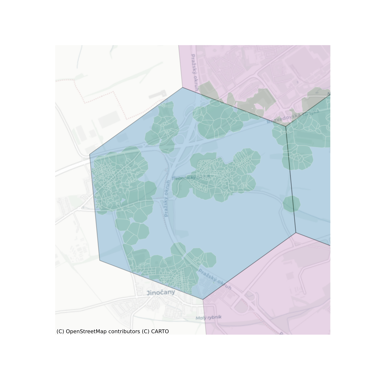
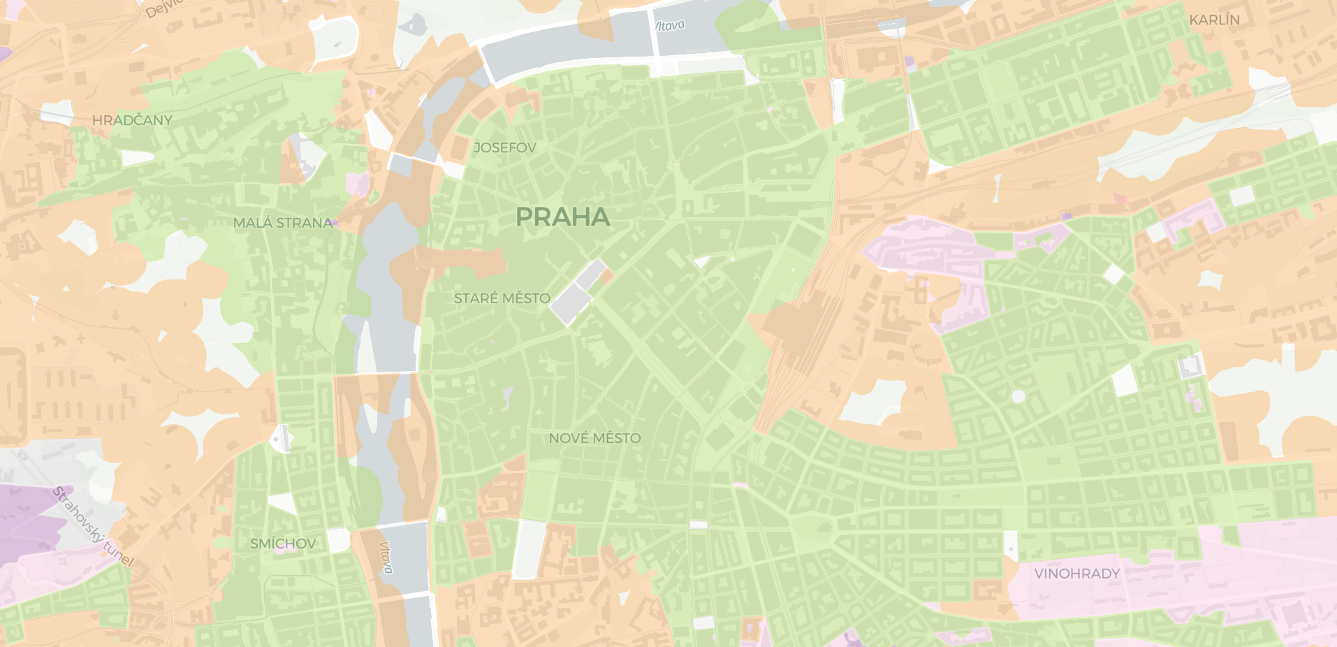
- Prague’s Institute for Planning and Development (IPR) (Czechia)
- 4ct (Czechia)
Future engagements
- December 16 (SSVA) - online
- End of January (IPR) - in person
- January 28 (4ct) - in person
Questions
- How will the project address the issue of trust identified during stakeholder discussions, particularly regarding the adoption of shared terminology and concepts for urban fabric monitoring?
- What strategies are planned to identify and incorporate unexpressed or latent needs of prospective data users into the stakeholder requirements mapping process?


Comments